Utilization of LiDAR data in Surfer
Utilizing LiDAR data with Surfer - A combination of point cloud data and surface modeling -
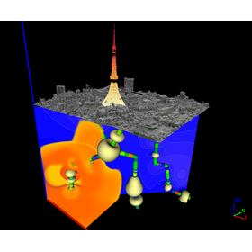
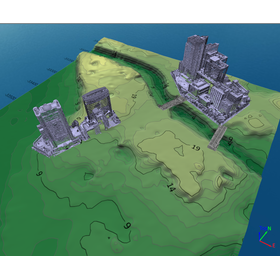
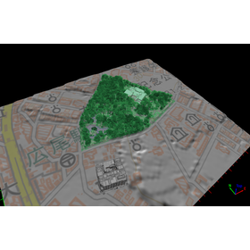
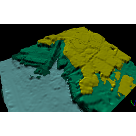
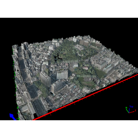
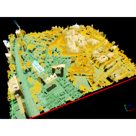
In recent years, with the widespread use of drones, LiDAR data has been utilized in a wide range of fields, including high-precision topographic surveying, agriculture, construction sites, and archaeological investigations. In Japan, LiDAR data has been made available on several sites. Here, we will introduce how to utilize LiDAR data using Surfer, which is equipped with surface modeling and GIS capabilities.
- Company:ヒューリンクス
- Price:100,000 yen-500,000 yen